

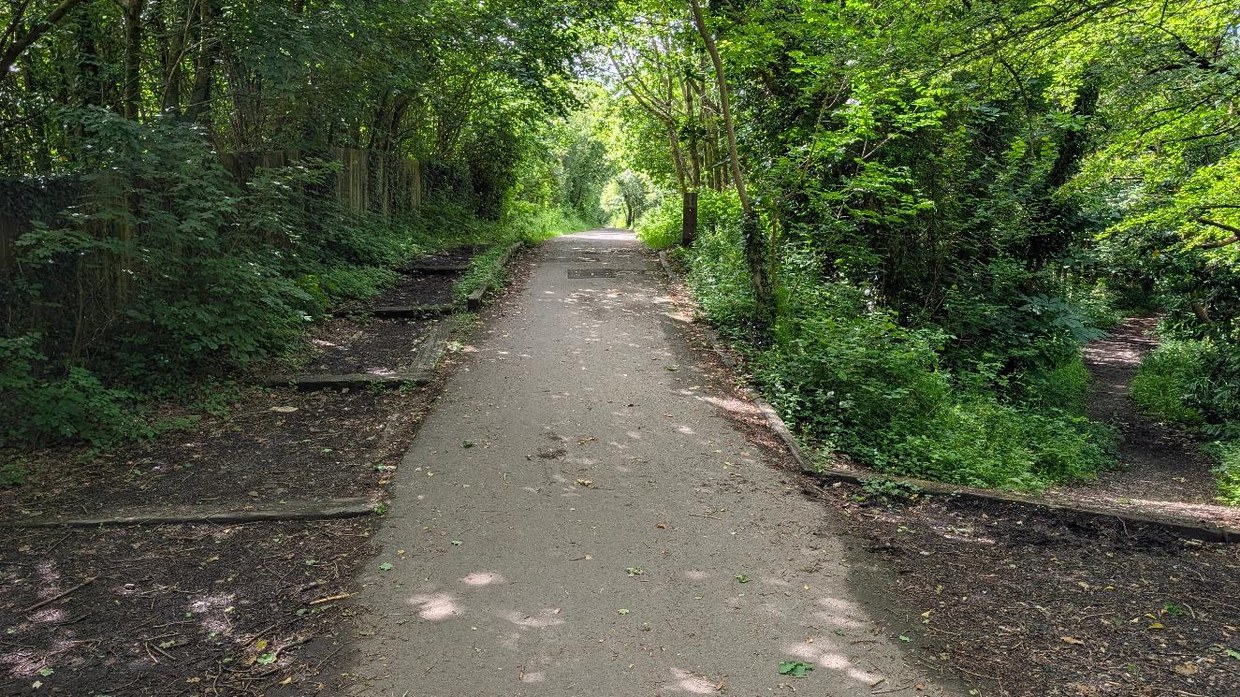
The old railway path between Dunvant and Gowerton is about to get wider.
Swansea Council has £500,000 from the Welsh Government to widen the 1.75km stretch, the same treatment the lower section from Blackpill to Dunvant has already had. Sections will close while the work is done, and the council says dates and details will come via signs on the route.
For a lot of people in both villages the path is the school run, the commute or the dog walk, so the plan-ahead advice will matter once the work starts.
The path is National Cycle Network Route 4, the traffic-free line from the seafront at Blackpill up through Killay and Dunvant to Gowerton.
What you’ll get at the end of it
A wider path. The council says the point is room: for people on foot, on bikes and on mobility scooters to pass each other without stopping, and less bunching up at the pinch points.
The council says the Blackpill to Dunvant widening has gone down well. In January it put the spend on the main Clyne Valley path at more than £1m.
“By widening the path we can make it more comfortable, accessible and attractive for all users, giving people more space and helping to support safer journeys on foot, by bike and by other active travel means,” said Cllr Andrew Stevens, the cabinet member for environment and infrastructure.
“We will keep disruption to a minimum”
On the closures, Cllr Stevens said: “We appreciate that temporary closures will cause some disruption while the work is taking place, but these are needed to allow the improvements to be delivered safely. We will keep disruption to a minimum and make sure clear information is available for route users.”
The stretch is well used by people travelling between the two villages, he said, “whether they are commuting, getting to school, visiting local facilities or enjoying the route for leisure”.
The money comes from the Welsh Government’s Regional Transport Fund, which the council says favours walking, wheeling, cycling and public transport schemes.
Where it stops
The scheme ends at Gowerton. It does not touch the long-argued-over gap from Gowerton on to Penclawdd, where a shared path has had planning permission since 2006 and cyclists are still on the B4295.
That link, and a bridleway route from Waunarlwydd onto NCN4 avoiding Gorwydd Road, were both on the redrawn walking and cycling map the council put out to consultation this summer. Being on the map is what makes a route eligible for Welsh Government money; it is not a promise it gets built.
For the Dunvant to Gowerton stretch, the money is now in hand. Dates for the work and the closures are the next thing to look out for.
Related stories from Swansea Bay News
ACTIVE TRAVEL: The big redraw of Swansea’s walking and cycling map, what’s changing in your area
The Waunarlwydd link and the Gowerton to Penclawdd gap.
Council backs down on Clyne Valley tarmac plan after public outcry
The bridleway the council left alone, and the £1m spent on the main path.
GOWERTON: Sinkhole closes lane on main route to Dunvant
The road between the two villages, and the day it gave way.
More active travel coverage from Swansea Bay News
Every walking and cycling route story.

Discover more from Swansea Bay News
Subscribe to get the latest posts sent to your email.