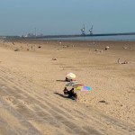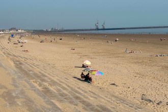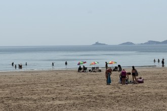

Swansea Bay’s record-breaking heatwave looks set to end with a bang, with the Met Office warning of thunderstorms, lightning and heavy rain from tonight into Friday morning.
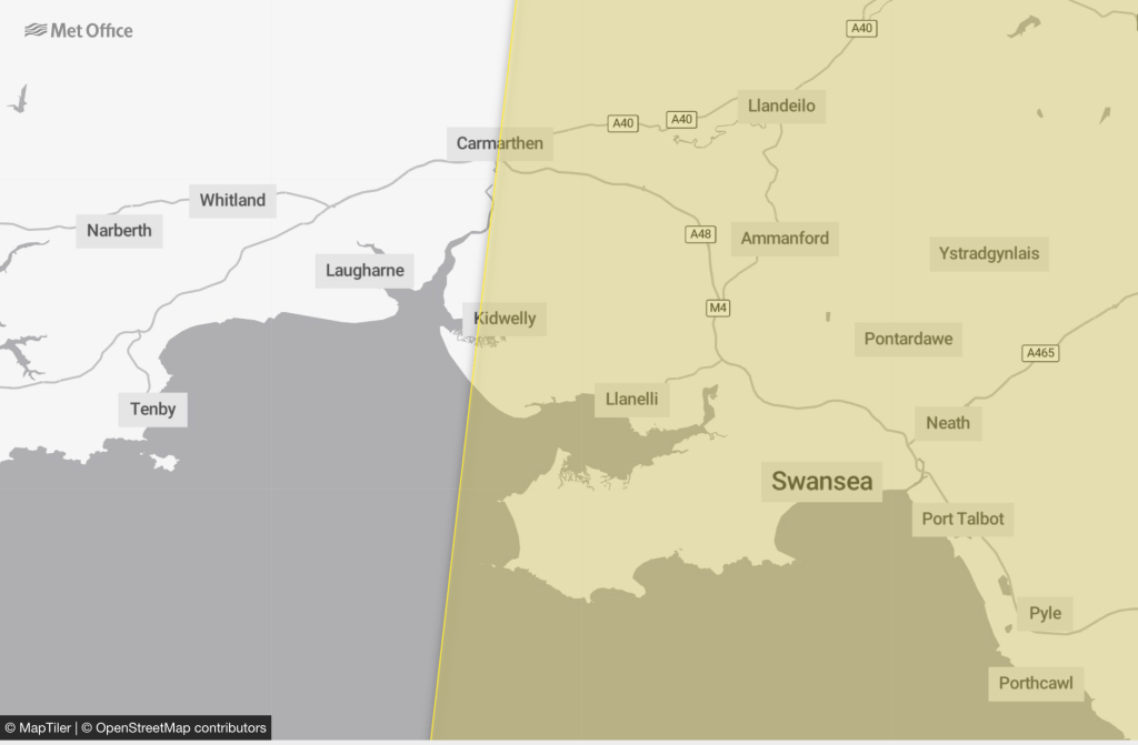
A yellow thunderstorm warning covers Swansea, Neath Port Talbot and most of Carmarthenshire, taking in Llanelli, Ammanford, Pontardawe and Carmarthen, as well as Port Talbot and Porthcawl.
Only the far west of the region — including Tenby, Whitland and most of Pembrokeshire — falls outside the warning area.
The storms are expected to sweep north-eastwards across Wales during the early hours of Friday, clearing through the morning.
Forecasters say that where the storms hit, they could bring sudden gusty winds of 50 to 60mph, frequent lightning, hail and downpours of 15 to 20mm of rain in an hour.
But the Met Office has been clear that many places will miss the worst — the warning carries what it calls a “very low likelihood,” meaning the heaviest storms may pass some areas by entirely.
Where they do land, there is a small chance of quick flooding to a few homes and businesses, and the possibility of delays or cancellations to trains and buses where lightning strikes or water gets onto the lines.
It marks a dramatic turn after one of the hottest spells the region has seen, with the red extreme heat warning ending late tonight.
The change comes as the heat itself reaches its peak. Earlier we rounded up everything you need to know as Swansea Bay faced its hottest day, from school closures to rail warnings.
The storms are a familiar sting in the tail of a heatwave, when humid air and high temperatures give way to sharp, sometimes violent downpours.
Swansea knows how quickly that can turn — in 2024 the city was hit by flash flooding when more than a month’s worth of rain fell in a single day.
The timing means the worst of it should pass while most people are asleep — but the tail end could catch the Friday morning commute, with wet roads and the clear-up still under way.
Drivers are likely to face the trickiest conditions, with spray, standing water and sudden downpours making roads hazardous, especially overnight and during the Friday rush.
After the storms clear, the picture settles down. Amber heat warnings remain in place further east for Friday and Saturday, but for Swansea Bay the worst of the heat will have broken, with cooler, fresher and more typical temperatures returning over the weekend.
The Met Office says its warnings remain under review and could change, and is urging people to stay weather aware and check the latest forecast before travelling.